Skip to main content
Please wait...
Main navigation
Home
Explore
Geographic Origins
Categories
Search
About
Introduction
How to Use this Website
Acknowledgements
Resources
Introduction to “Ornithology in Peale’s Museum”
Du Simitière Sources
Peale Sources
Geographic Origins: North America
Category: Printed Works/Manuscripts
Reset Search
Displaying 1 - 11 of 11
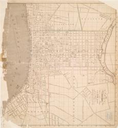
Un plan de la ville de Philadelphie
Trans.: A map of the city of Philadelphia
A plan Mss. of the English & Hessian army on Fort Washington done by a Hessian captain
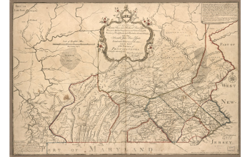
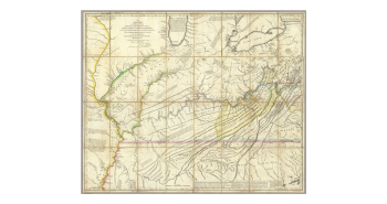
A Map of the Province of Pennsylvania by Scull in a large Sheet
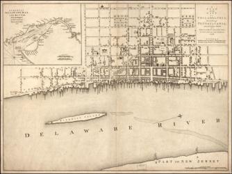
A New Map, of the City of Philadelphia and a pamphlet
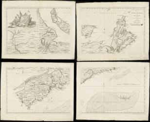
24 Maps of different ports harbours and Islands of America. in French
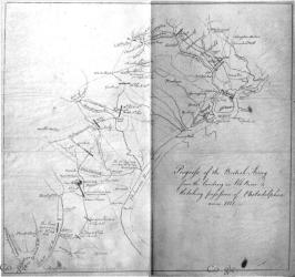
A plan of the progress of the british army from their landing in Elk river to their taking possession of Philadelphia 26th Sept 1777
A Map of Nova Scotia or Acadia with the Islands of Cape Breton and St. John
A Map of the State of Delaware drawn by Edward Simmons Lewis aged 6 years executed with the Penn
A very elegant Map of the Island of New York
Hutchins's Map of Virginia colored
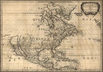
A Map of North America by N. Sanson, 1650
Download CSV
Category
Show all
(11)
(-)
Printed Works/Manuscripts
(11)
Manuscripts
(2)
Pamphlets
(1)
(-)
Maps
(11)
Geographic Origins
Show all
(11)
(-)
North America
(11)
North America (East)
(4)
Donor
(-)
Show all
(5)
Dorfeuille, Joseph
(1)
Dorré, Marie Fidel
(1)
Gilpin, Thomas
(1)
Lewis, Samuel
(1)
Paxton, John Adems
(1)
Collection
(-)
Show all
Pierre Eugène du Simitière
Charles Willson Peale